What the image shows
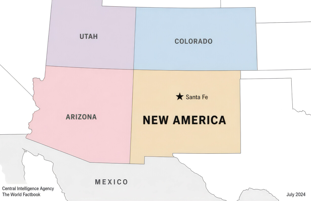
A color-coded regional map in the style of a CIA World Factbook map, showing the southwestern United States. Utah is shaded purple, Colorado is shaded blue, Arizona is shaded pink, and the state of New Mexico is shaded tan/orange but relabeled "NEW AMERICA" instead of "New Mexico," with a star marking its capital "Santa Fe." Mexico is shown to the south in gray. Attribution text reads "Central Intelligence Agency / The World Factbook" in the bottom left and a date "July 2024" in the bottom right.
Text in image: UTAH COLORADO ★ Santa Fe ARIZONA NEW AMERICA MEXICO Central Intelligence Agency The World Factbook July 2024
Described automatically. The words above are a machine's reading of the picture, not Trump's.