What the image shows
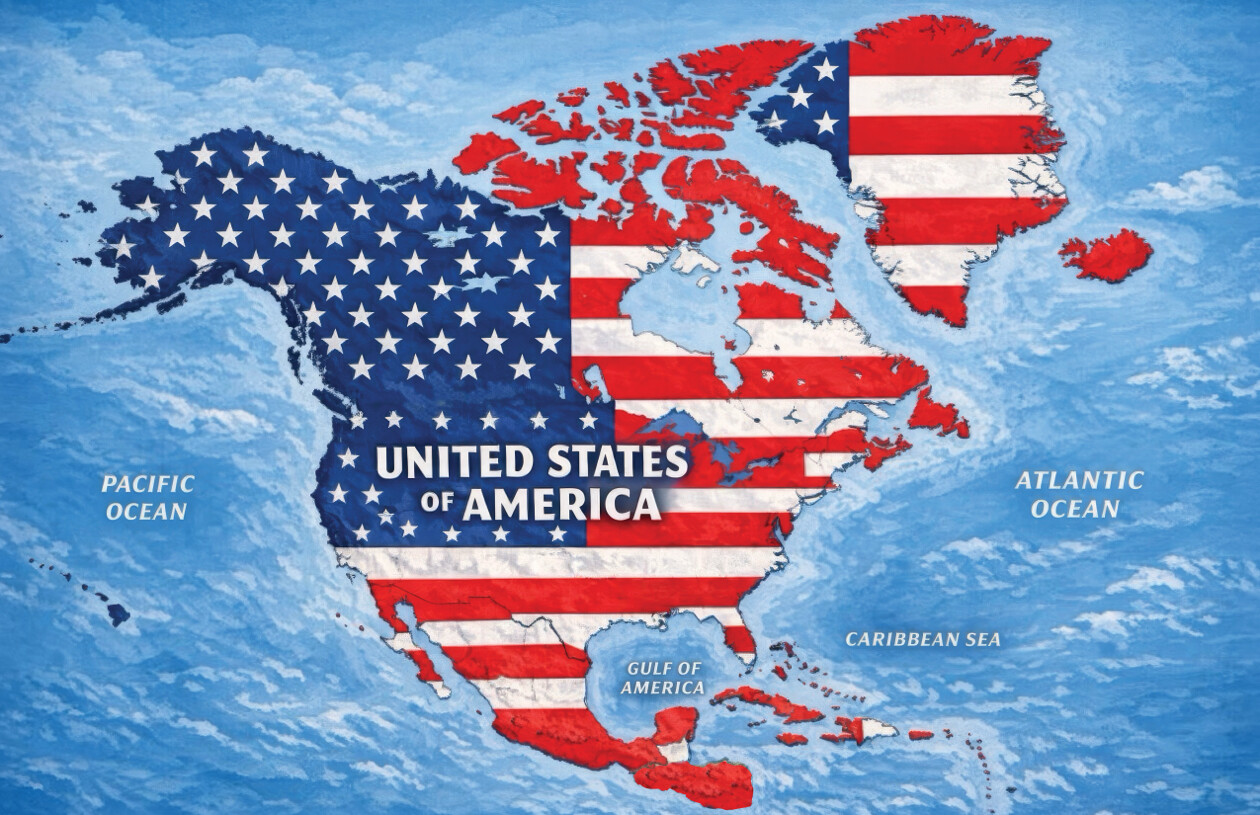
A stylized satellite-style map of North America (including Alaska, Hawaii, Canada, Greenland, Mexico/Central America, and Caribbean islands) with the outline of the United States, Canada, and Greenland all rendered in the pattern of the U.S. flag (blue field with white stars over the western/northern landmass, red and white stripes over the eastern/central landmass and Canada/Greenland). Mexico and other Central American/Caribbean landmasses are shown in plain gray-brown, not flag-colored. Bold white text centered over the continent reads "UNITED STATES OF AMERICA". Smaller white italicized labels mark bodies of water: "PACIFIC OCEAN" to the west, "ATLANTIC OCEAN" to the east, "CARIBBEAN SEA" to the southeast, and "GULF OF AMERICA" (a renaming of the Gulf of Mexico) to the south.
Text in image: UNITED STATES OF AMERICA PACIFIC OCEAN ATLANTIC OCEAN GULF OF AMERICA CARIBBEAN SEA
Described automatically. The words above are a machine's reading of the picture, not Trump's.