Search Posts

Platform:
Date range:
to

4 results for "tag:symbolic-annexation"

Post from Truth Social

Image attachment
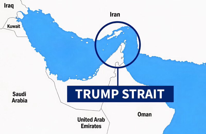
What the image shows chart

A stylized map graphic in blue and white showing the Persian Gulf region, with countries labeled: Iraq, Kuwait, Iran, Saudi Arabia, United Arab Emirates, and Oman. A dark navy circle highlights the narrow waterway connecting the Persian Gulf to the Gulf of Oman (the Strait of Hormuz), with a line pointing down to a dark blue banner overlaid on the map reading "TRUMP STRAIT" in bold white capital letters. The graphic appears to depict a proposal or joke about renaming the Strait of Hormuz after Donald Trump.

Text in image: Iraq Kuwait Iran Saudi Arabia United Arab Emirates Oman TRUMP STRAIT

Described automatically. The words above are a machine's reading of the picture, not Trump's.
Post from Truth Social

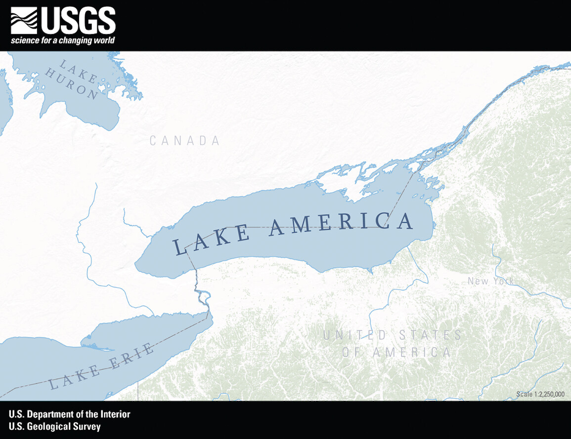
Apple Maps has just announced that it has changed the name of Lake Ontario to Lake America, so now that very important change of names, between Google Maps and Apple Maps, is complete, ratified, and binding. Thank you for your attention to this matter! President DONALD J. TRUMP

0:00 0:00

Post from Truth Social

BREAKING NEWS!

TO: Office of the Secretary, Department of the Interior 
FROM: Director, U.S. Geological Survey
RE: Lake America rename 
 
Sir, 
 
As of 4:30 pm today the U.S. Geological Survey has officially designated the former Lake Ontario to be renamed as Lake America in all official USGS electronic documents.
 
The change will begin occurring in printed documents over the next several days.  
 
This change has also been made official in the Geographic Names Information System.
 
Should you have any further questions please contact me for clarification.
 
Thank you  
Ned
 
Dr. Ned Mamula
Director, U.S. Geological Survey
United States Department of the Interior

Image attachment
0:00 0:00