What the image shows
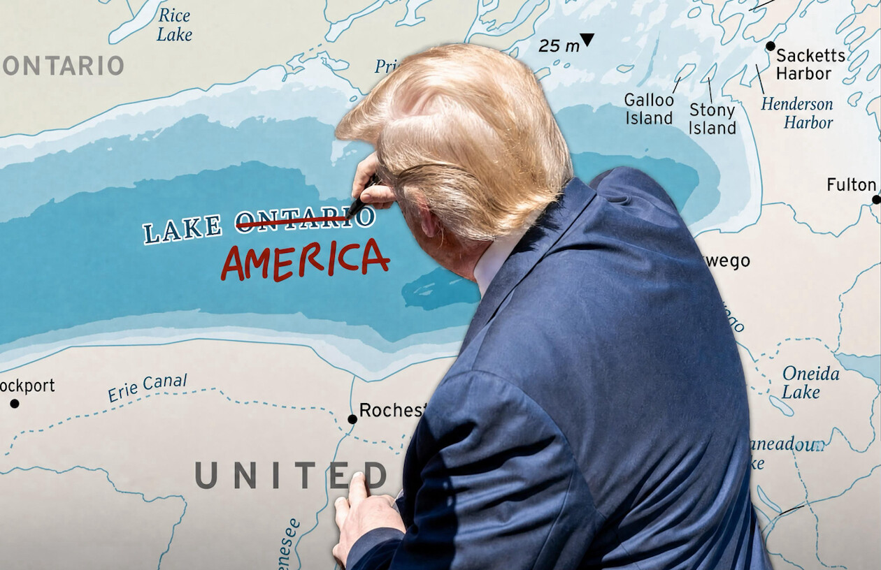
This is a digitally edited meme image, viewed from behind/over the shoulder of a man with light blonde/orange hair and a navy suit jacket, resembling Donald Trump, who appears to be writing on a large wall map with a marker. The map shows the Great Lakes and upstate New York region near Ontario, Canada, including Lake Ontario, Rochester, the Erie Canal, Oswego, Fulton, Sackets Harbor, Henderson Harbor, Stony Island, Galloo Island, Oneida Lake, and Rice Lake. On the map, the printed label LAKE ONTARIO has ONTARIO crossed out with a red line, and AMERICA is handwritten below it in red marker, mimicking his handwriting style, so the body of water is edited to read LAKE AMERICA. This visually parodies the 2019 Sharpiegate incident in which Trump altered an official hurricane forecast map with a marker.
Text in image: ONTARIO, Rice Lake, 25 m, Galloo Island, Stony Island, Sacketts Harbor, Henderson Harbor, Fulton, LAKE ONTARIO with ONTARIO crossed out, AMERICA handwritten in red, wego, Rochest, Erie Canal, ockport, enesee, UNITED, Oneida Lake
Described automatically. The words above are a machine's reading of the picture, not Trump's.