What the image shows
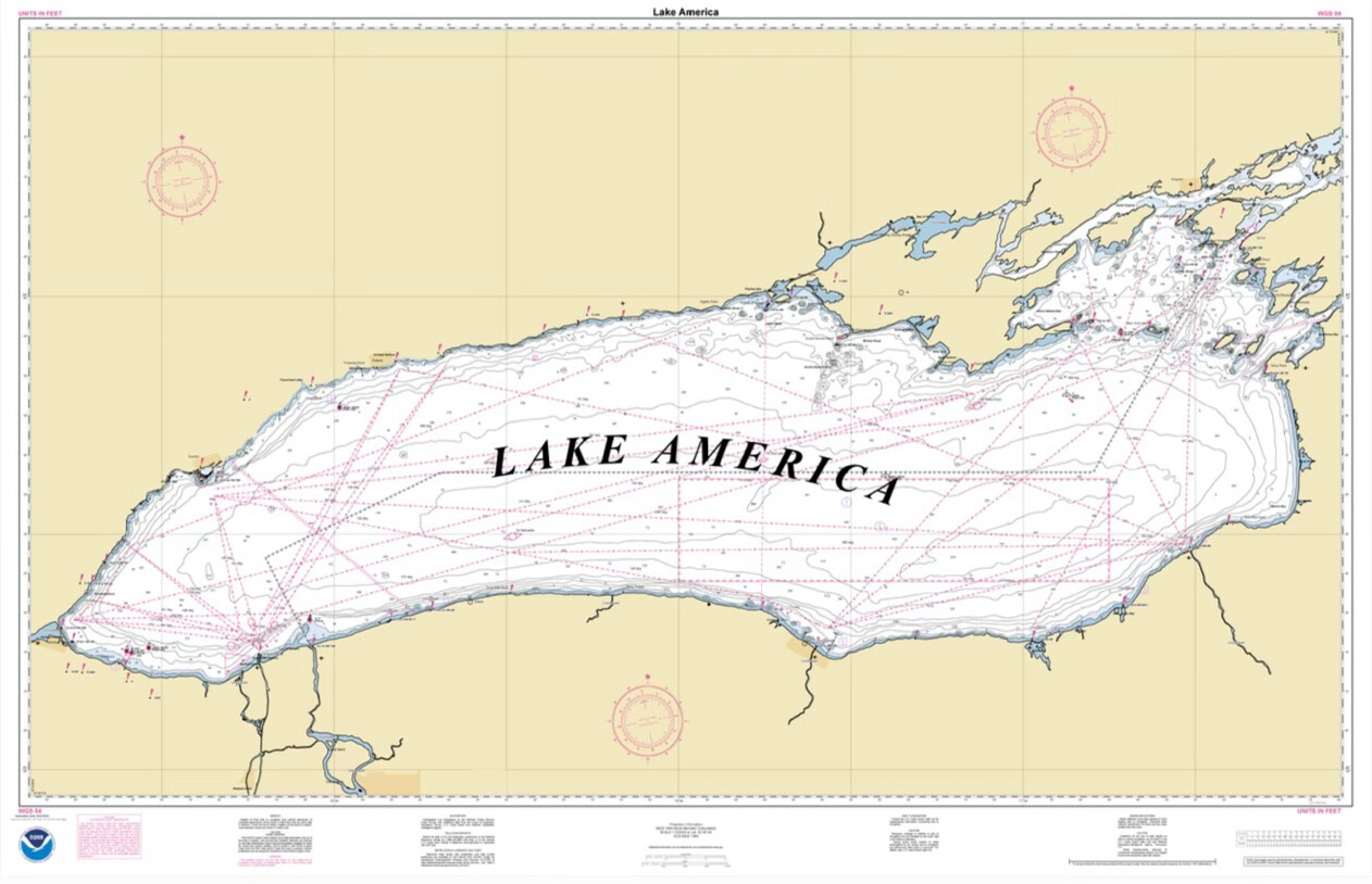
This is a mock nautical/navigational chart styled like a NOAA (National Oceanic and Atmospheric Administration) survey map, with the NOAA logo in the bottom-left corner. The chart depicts a large elongated body of water labeled "LAKE AMERICA" in bold italic serif text across its center. The shape of the water body resembles the outline of the Great Lakes region combined together (it has a form similar to a stretched, connected Great Lakes shape) rather than any single real lake. The map includes standard nautical chart elements: depth contour lines, dashed pink/magenta course or survey lines crisscrossing the water, compass rose symbols in several corners, exclamation point hazard markers, small red dots for landmarks, a coordinate grid with tick marks along the borders, and blocks of small disclaimer/legend text along the bottom edge that are too small to read clearly. The land areas are shaded in a tan/beige color, and the water areas are white with gray depth-sounding numbers scattered throughout.
Text in image: Lake America LAKE AMERICA WGS 84 UNITS IN FEET UNITS IN FEET WGS 84
Described automatically. The words above are a machine's reading of the picture, not Trump's.