What the image shows
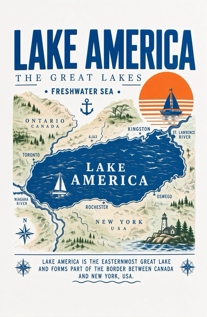
An illustrated, vintage-style travel-poster map graphic labeled "Lake America," depicting what is actually Lake Ontario renamed. The lake is shown in blue at center, surrounded by stylized terrain (hills, forests) and labeled locations: Toronto and Ontario, Canada on the northwest shore; Ajax and Kingston along the north/northeast shore; the St. Lawrence River flowing out to the east; and Niagara River, Rochester, Oswego, and New York, USA along the south shore. A sailboat and orange sun/horizon graphic appear in the upper right, another sailboat sits inside the lake, a lighthouse is depicted on the lower right shore, a compass rose is in the lower left, and an anchor icon appears near the top. A caption at the bottom states the lake is the easternmost Great Lake and forms part of the US-Canada border.
Text in image: LAKE AMERICA / THE GREAT LAKES / FRESHWATER SEA / ONTARIO CANADA / KINGSTON / ST. LAWRENCE RIVER / AJAX / TORONTO / LAKE AMERICA / OSWEGO / NIAGARA RIVER / ROCHESTER / NEW YORK USA / N / LAKE AMERICA IS THE EASTERNMOST GREAT LAKE AND FORMS PART OF THE BORDER BETWEEN CANADA AND NEW YORK, USA.
Described automatically. The words above are a machine's reading of the picture, not Trump's.