What the image shows
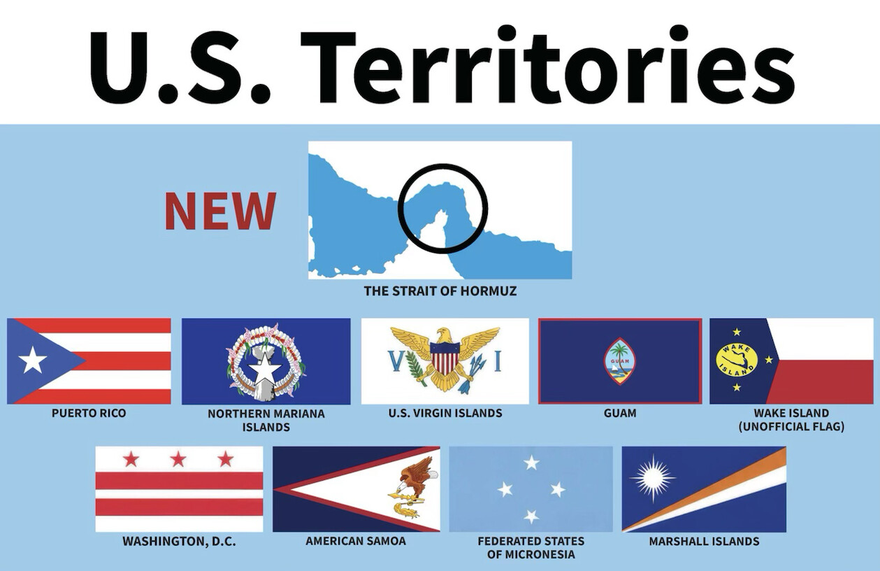
A graphic titled "U.S. Territories" on a light blue background. At top is a map outline of a body of water with a circled/highlighted narrow section, labeled "THE STRAIT OF HORMUZ," marked "NEW" in red text to its left, presented alongside the existing territories as if newly added. Below are two rows of flags with labels: Puerto Rico, Northern Mariana Islands, U.S. Virgin Islands, Guam, Wake Island (unofficial flag), Washington D.C., American Samoa, Federated States of Micronesia, and Marshall Islands.
Text in image: U.S. Territories NEW THE STRAIT OF HORMUZ PUERTO RICO NORTHERN MARIANA ISLANDS U.S. VIRGIN ISLANDS GUAM WAKE ISLAND (UNOFFICIAL FLAG) WASHINGTON, D.C. AMERICAN SAMOA FEDERATED STATES OF MICRONESIA MARSHALL ISLANDS
Described automatically. The words above are a machine's reading of the picture, not Trump's.