What the image shows
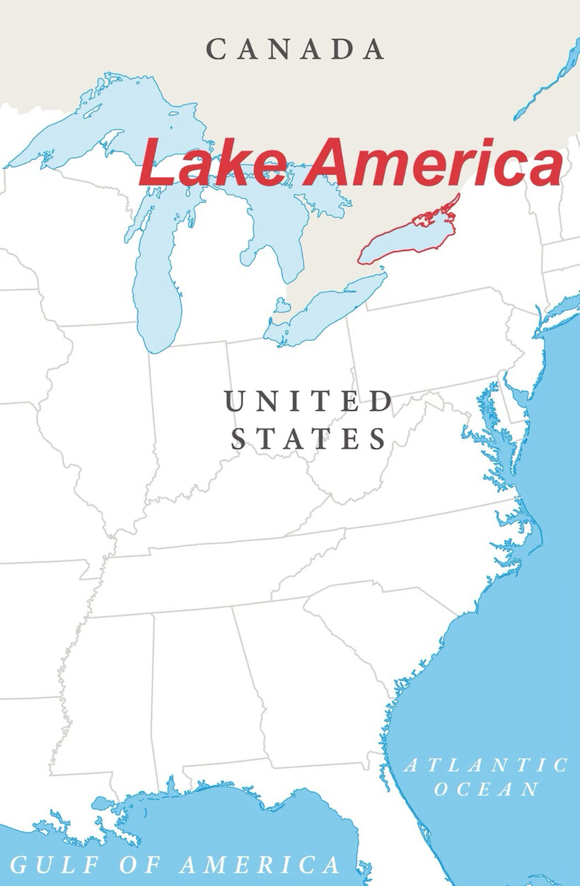
A stylized map graphic showing the northeastern/eastern United States, the Great Lakes, and southern Canada. The Great Lakes are shaded light blue and labeled "Lake America" in bold red italic text. One of the lakes (appears to be Lake Erie) is outlined in red. The Gulf of Mexico at the bottom is relabeled "Gulf of America" in white italic text, and the Atlantic Ocean is labeled normally in white italic text. State and country borders are drawn in thin gray lines, with "Canada" and "United States" labeled in dark gray serif capital letters.
Text in image: CANADA Lake America UNITED STATES ATLANTIC OCEAN GULF OF AMERICA
Described automatically. The words above are a machine's reading of the picture, not Trump's.