What the image shows
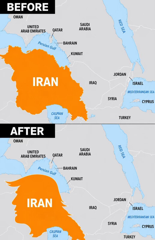
A political meme/chart-style image showing two stacked maps of the Middle East, labeled "BEFORE" and "AFTER" in black bars. Both maps show the same region with countries labeled: Oman, United Arab Emirates, Qatar, Saudi Arabia, Bahrain, Kuwait, Jordan, Israel, Syria, Cyprus, Turkey, Iraq, the Persian Gulf, Red Sea, Mediterranean Sea, and Caspian Sea. In the "BEFORE" map, Iran is shaded orange in its normal, actual national border shape. In the "AFTER" map, the same orange-shaded area labeled "IRAN" has been redrawn/distorted into a shape resembling the silhouette of a human head in profile with swept-back hair (styled to evoke Donald Trump's distinctive hairstyle and facial profile), instead of Iran's real geographic borders.
Text in image: BEFORE OMAN UNITED ARAB EMIRATES QATAR SAUDI ARABIA RED SEA BAHRAIN Persian Gulf KUWAIT IRAN JORDAN ISRAEL MEDITERRANEAN SEA IRAQ CYPRUS SYRIA CASPIAN SEA TURKEY AFTER OMAN UNITED ARAB EMIRATES QATAR SAUDI ARABIA RED SEA BAHRAIN Persian Gulf KUWAIT IRAN JORDAN ISRAEL MEDITERRANEAN SEA IRAQ CYPRUS SYRIA CASPIAN SEA TURKEY
Described automatically. The words above are a machine's reading of the picture, not Trump's.